University of Maryland · NASA · USAID · 2008–2017
Mapping shifting cultivation and forest loss across the Congo Basin
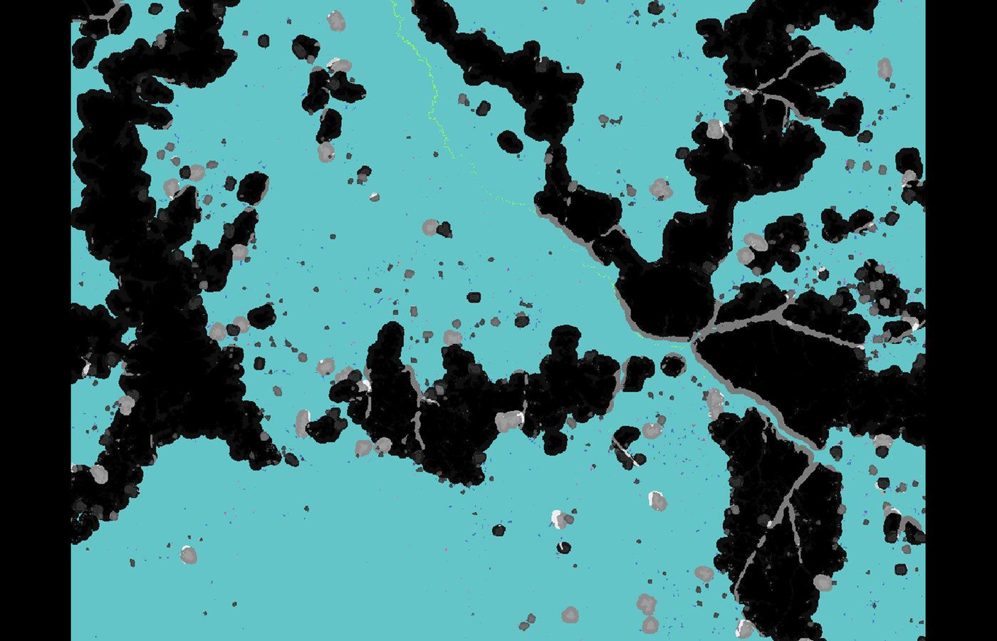
Where is deforestation actually happening in the Congo Basin, and what is driving it? Satellite tree-cover-loss data lights up the same way whether a pixel is a new incursion into primary rainforest or land that has been farmed cyclically for generations. That ambiguity is how analyses — and policy — go quietly wrong.
Working at the University of Maryland's Global Land Analysis and Discovery (GLAD) lab with NASA and USAID funding, this research developed methods to map the 'rural complex' — the mosaic of fields, fallows, villages and roads of subsistence agriculture — and to distinguish it from new forest loss. The work showed that roughly 92% of tree-cover loss in the DRC occurs within shifting cultivation rather than as fresh deforestation, while the rural complex itself expands into primary forest at about 1% per year.
The findings were published in Environmental Research Letters, Land and Biological Conservation, replicated by the World Resources Institute for the Republic of Congo, and covered internationally by Mongabay and Global Forest Watch. The maps now help conservationists, development agencies and land-use planners target the small share of loss that represents real, new deforestation.
Sources & further reading
- ERL 2015 — Forest cover dynamics of shifting cultivation in the DRC ↗
- ERL 2017 — Quantification of land cover within the rural complex ↗
- Land 2020 — Contextualizing forest cover loss in the DRC ↗
- Global Forest Watch / WRI feature (2018) ↗
- Mongabay — Maps tease apart agriculture and deforestation in DRC ↗