Geospatial Environment
Earth Data.
Decisions.
Impact.
Strategic services in geospatial analysis, remote sensing and state-of-the-art GeoAI — helping environmental and development organisations turn Earth data into defensible decisions.


About our practice
A specialist practice.
Small by design, focused by necessity
Led by a senior scientist with 20+ years across research and delivery, we build tailored geospatial evidence for environmental and development decisions.
Senior scientist, team coordinator, direct line of responsibility, and a tailored scope — from first call to final delivery.
Meet the team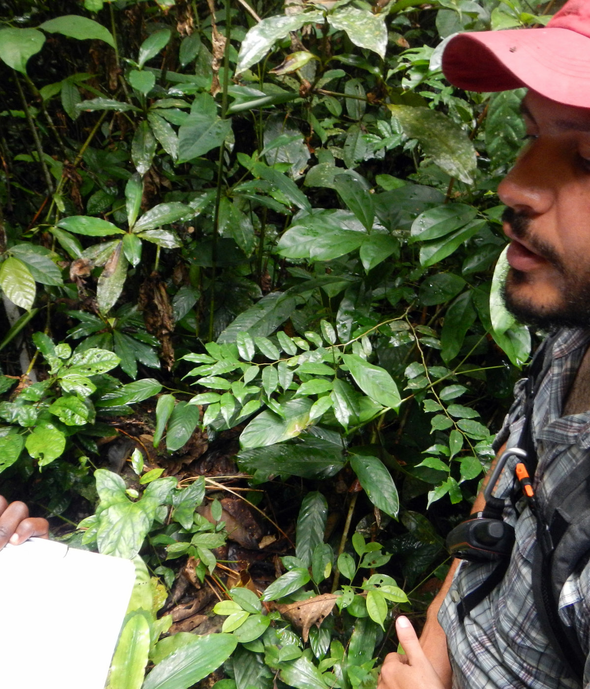
Why us
Senior expertise, direct accountability.
A specialist practice built for clarity, rigour and practical delivery.
A track record you can verify
PhD research published in three peer-reviewed papers, a decade at the University of Maryland with NASA and USAID funding, and 18 years across two core institutions. The record is checkable.
We've sat on your side of the table
Years inside World Bank operations mean we know what a task team actually needs: defensible methods, clean tables, deadlines met and outputs teams can use.
The person you call is the person who does the work — and takes responsibility
Senior scientist, team coordinator, direct line of responsibility, and a tailored scope — from first call to final delivery.
Honest about uncertainty
Satellite data has limits. We tell you what the data can support and what it can't — before you build a programme on it.
What we help you answer
Clients don't come to us for "services." They come with questions.
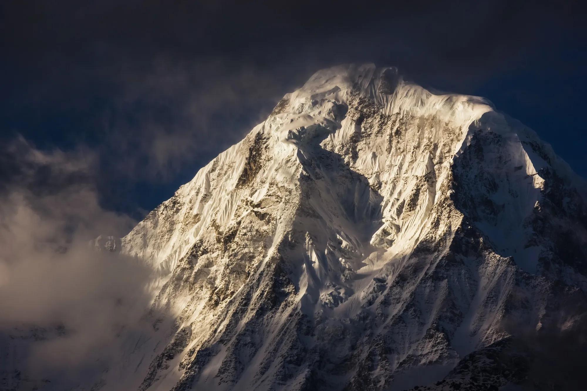
Floods, heat stress, monsoons, typhoons. We characterise physical hazards, their uncertainty, and how they evolve under climate change over the next 10–30 years.
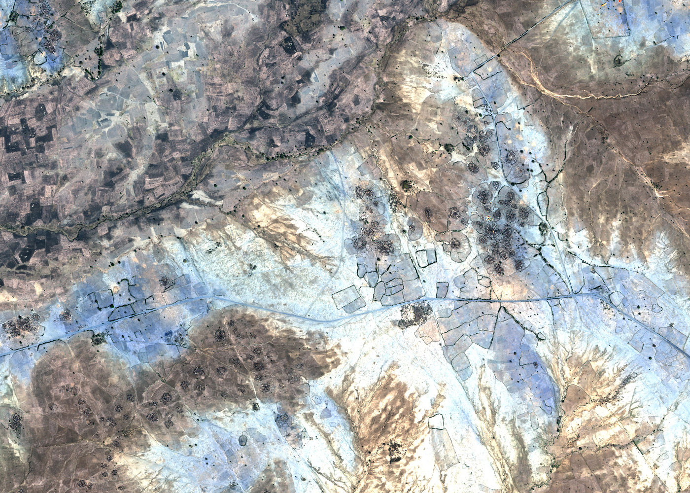
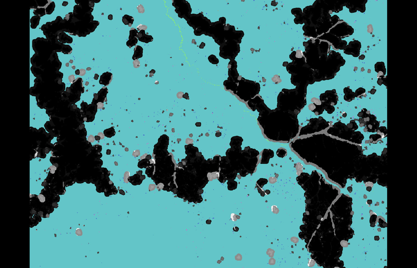
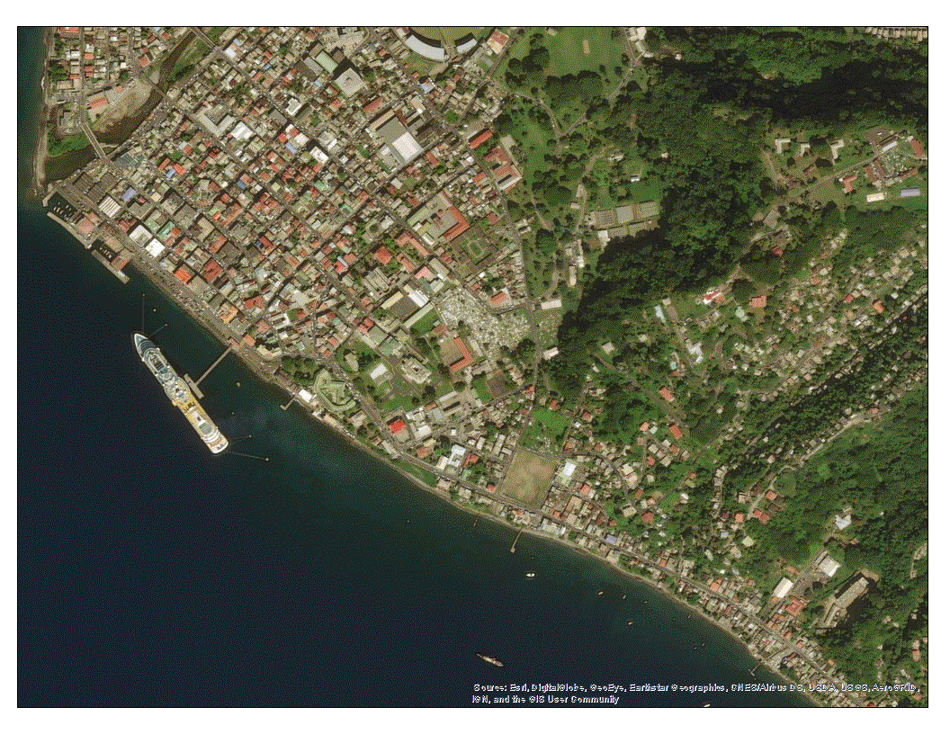
Using satellite-derived built-up area and population datasets, we map where people and assets sit in harm's way — including settlements no census has caught up with yet.
We combine satellite imagery, geospatial data and state-of-the-art GeoAI to detect change, model risk and deliver evidence institutions can act on.
Ten satellites, ten institutions, ten products — different resolutions, different trade-offs. We help you pick the right one for the question, not the one off the shelf.
Analysis only matters if decision-makers act on it. We design visualisations, narratives and reporting that carry findings from the model to the ministry.
Through the UR Field Labs format we run collaborative, participant-led events that build skills, networks and real outputs — from one week to one month, on your theme.
Proof of work
Featured projects
Only the highlights. The full archive lives in Our Work.
Impact spotlight
The UR Field Labs
Co-designing new paradigms for addressing climate & disaster risk management issues.
Collaborative, participant-led "unconferences" where global, interdisciplinary teams produce real outputs — research, tools, dashboards, maps and creative media — backed by GFDRR, the World Bank, universities and NGOs.
Trusted by
Partners & clients
20+ years, 18 of which with two core institutions, and a network of clients and partners across four continents.
Featured in

In their words
What clients & collaborators say
Giuseppe turned a complex geospatial question into a defensible analysis our operational team could act on immediately.
The work balanced scientific rigour with the pace of a live programme and made the findings clear to non-technical decision-makers.
A rare combination of remote-sensing depth, careful methods, and communication that held up across research and policy audiences.
The Field Lab helped our team move from discussing climate risk to building practical tools with partners across disciplines.
Direct access to the senior scientist made the engagement faster, clearer, and far more accountable from start to finish.
Insights
Latest from the blog
News coverage, journal mentions, and notes from the field.
Have a hazard, a dataset, or a question you can't answer yet?
A 30-minute call is the fastest way to find out whether — and how — we can help. You speak directly with the scientist responsible for the work.
Book a call