The people the census can't see: why satellite exposure data matters
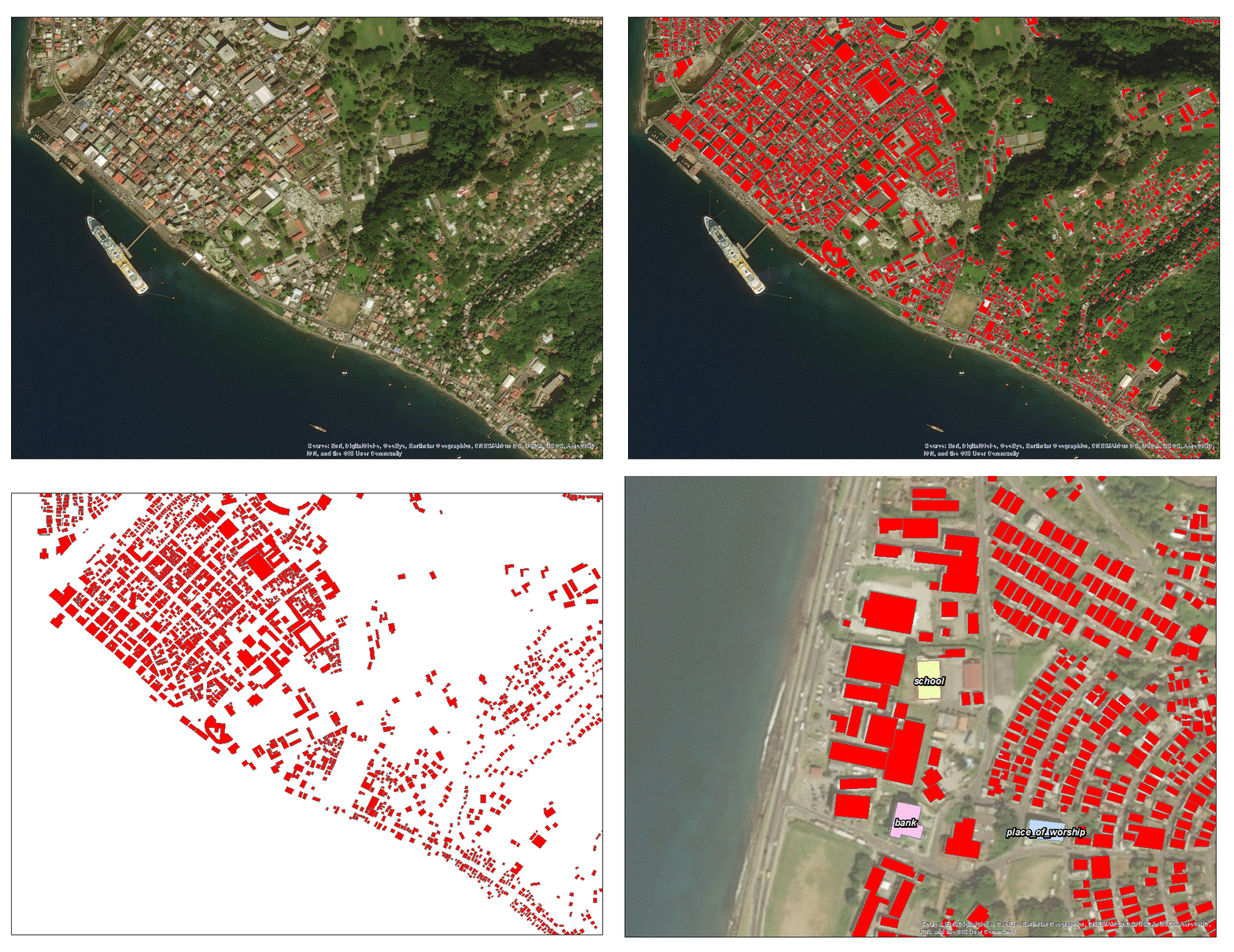
Settlements move faster than surveys
Governments plan with the data they have, but official counts are often years out of date. That gap is especially dangerous in rapidly urbanising floodplains, where new homes and infrastructure can appear long before the next census captures them.
What satellite data reveals
Between 2005 and 2025, satellite-derived built-up-area datasets show consistent settlement forming in flood-prone river valleys outside Kathmandu. Looking across the time series makes the pace and location of exposure visible, including places where official statistics still describe farmland.
From imagery to decisions
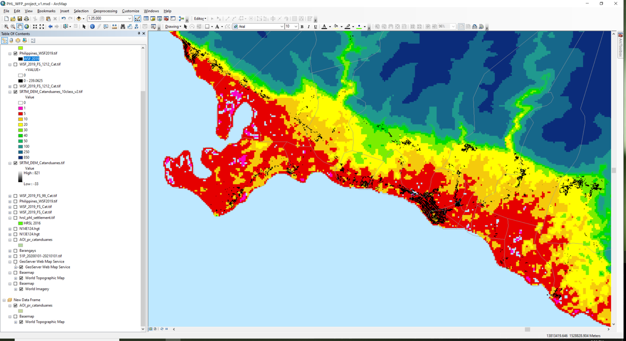
Caption: Exposure to coastal flooding in the Philippines
From Imagery to Decisions
The useful output is not another map. It is a defensible comparison of built-up-area products, hazard layers and official records that helps teams decide where estimates are reliable, where uncertainty is high and where field validation matters most. Most importantly, earth observation data allows us to understand the exposure of people to hazards, and to estimate also the socio-economic vulnerability that communities have, in different measures, to the same hazard exposure.